
Delivering high quality
SAR data
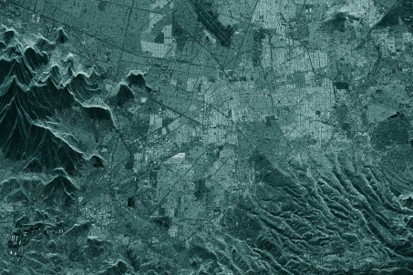
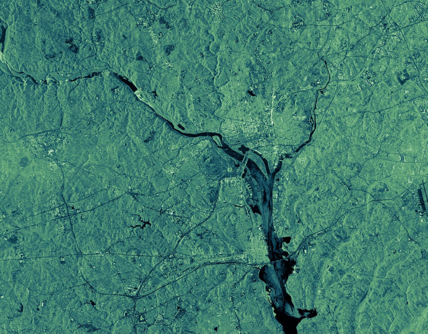
SARONE's SAR satellite data benefits multiple sectors, serving both commercial and non-commercial needs.
Trusted by Global Leaders - High-Precision SAR Data
Our Solutions
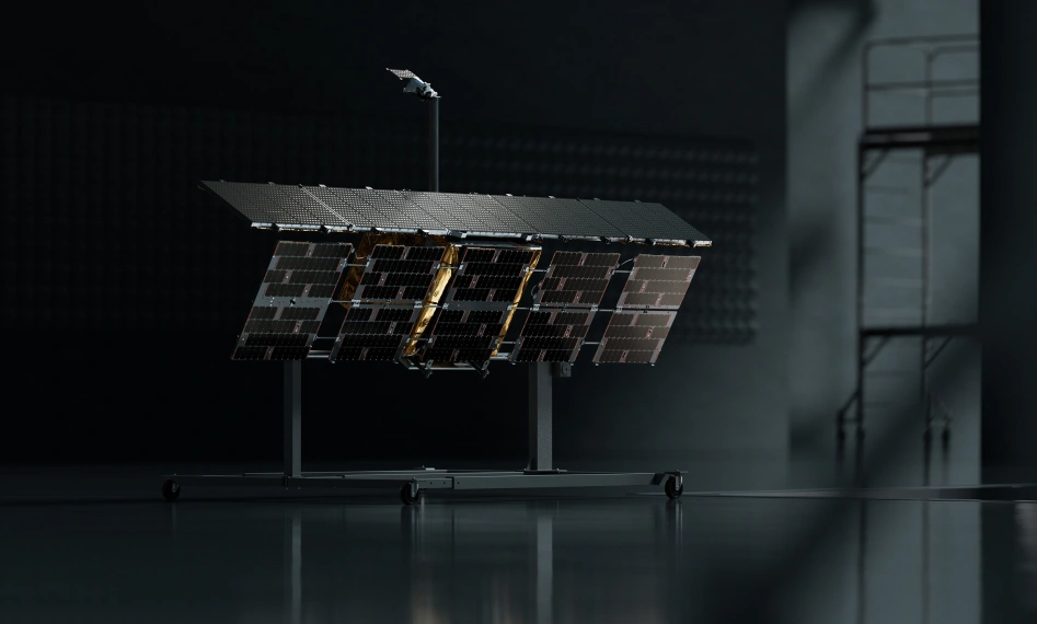
The SARONE satellite pioneers high-precision imaging with actionable data.
Platform
SARONE's satellite family, first of it's kind allowing for for high-precision imaging with actionable data
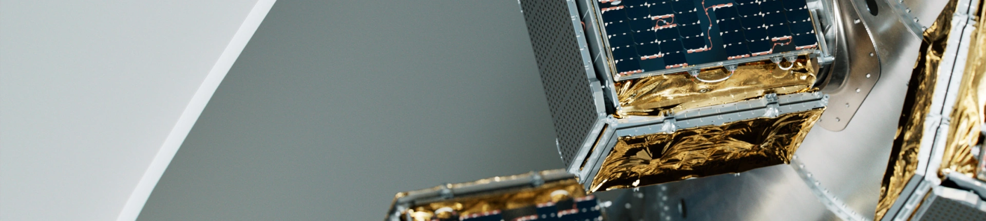
SAR Payloads
We provide SAR imaging solutions for various applications, ranging from environmental surveys to detailed reconnaissance.
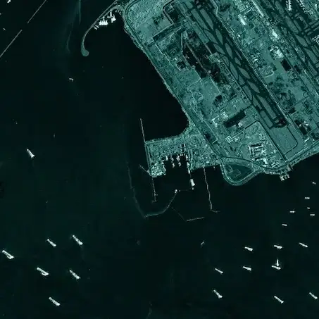
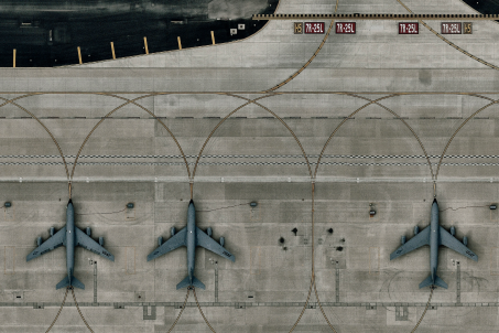
SAR Data
Our SAR imaging spans low (30m/px) for environmental surveys, medium (5m/px) for urban planning, to high (1m/px) resolutions for reconnaissance.
Near real-time insights
Leverage SAR satellite technology to empower your company with near real-time, actionable intelligence for global monitoring, strategic planning, and enhanced decision-making across various domains, from defense to environmental sustainability.
Actionable data
Empower your company with strategic and actionable data in near real-time.
Enhanced Geospatial Intelligence
Utilize SAR satellite technology to monitor changes and activities across the globe, regardless of weather conditions or time of day. This provides an unmatched level of surveillance and reconnaissance capability that is essential for industries such as defense, maritime, and environmental monitoring.
Want to learn more?
Discover how your organization can achieve unmatched control and flexibility by acquiring a dedicated satellite or capacity.